Santa Fe, Prescott and Phoenix Railway
1892 Route
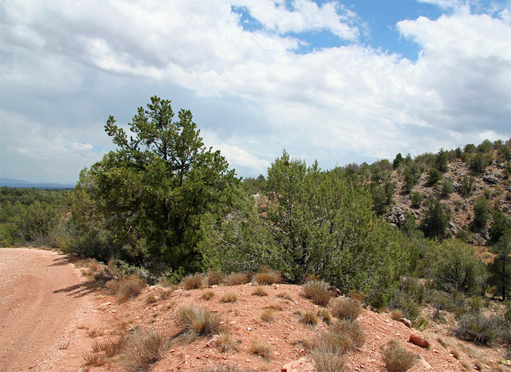
This sections starts up on the north side of the trestle site looking back
to where the last segment left off. The southern embankment can just be seen
between the two trees. The forest road merges with the grade for a while
along this stretch.
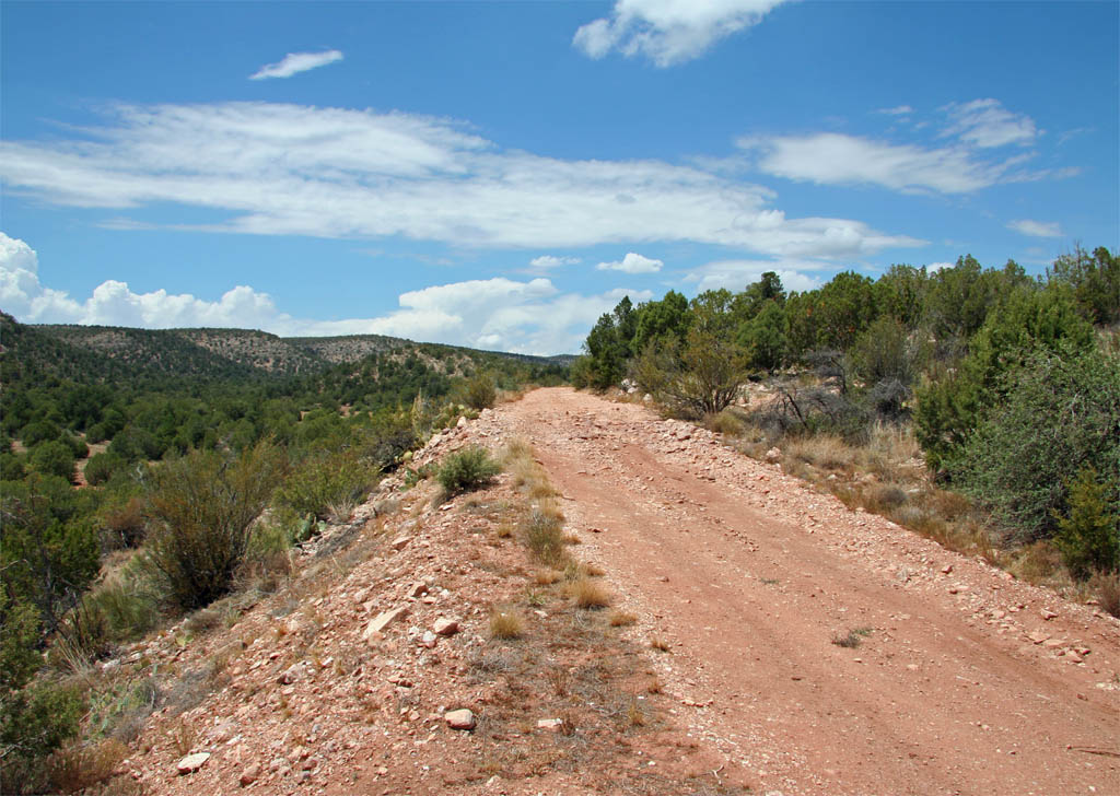
Looking ahead we have a straight segment where the forest road occupies the
former grade.
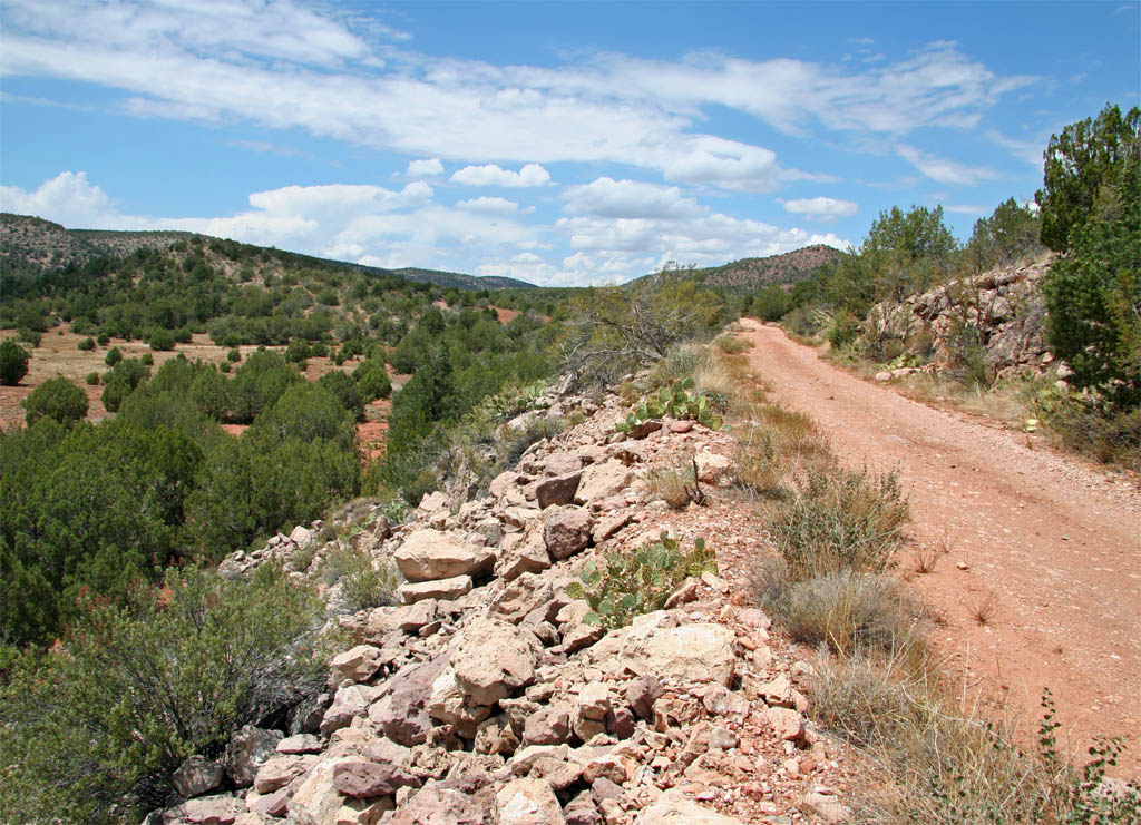
 A little bit of rock removal was need along here with the debris pushed
over the side of the grade. The grade will make a slight bend to the west
to pass through the red soil area at the center of the shot.
A little bit of rock removal was need along here with the debris pushed
over the side of the grade. The grade will make a slight bend to the west
to pass through the red soil area at the center of the shot.
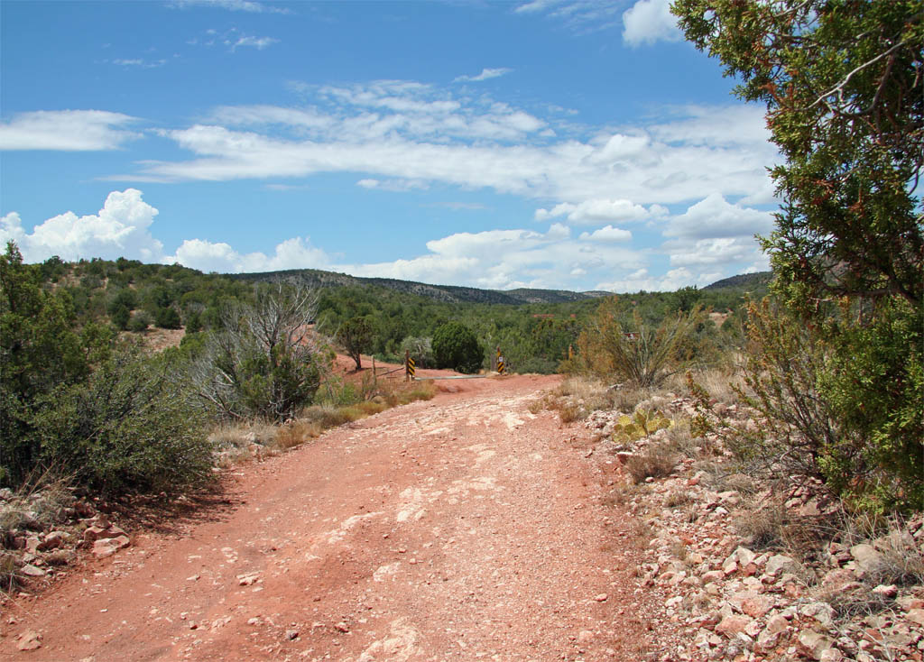
The bend to the west across a fill with a side road heading off to the right.
I'm guessing that the fill is modern and was put in place to form the stock
tank off to the right. Back in the RR days there was probably a trestle located
at this site which would have been about 370 feet in length.
Just beyond the road fill, the grade occupies the opposite side of the canyon.
The side of the road is still wet from the storm that passed through yesterday.
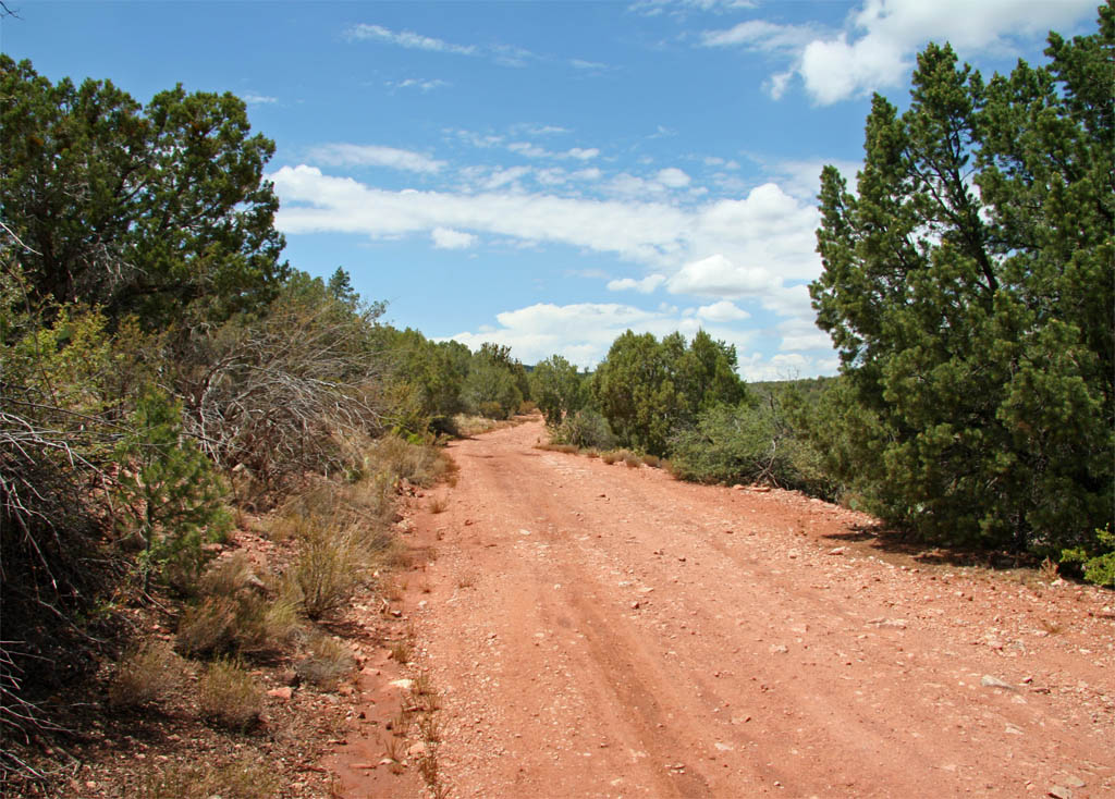
Just a little bit of mud left.
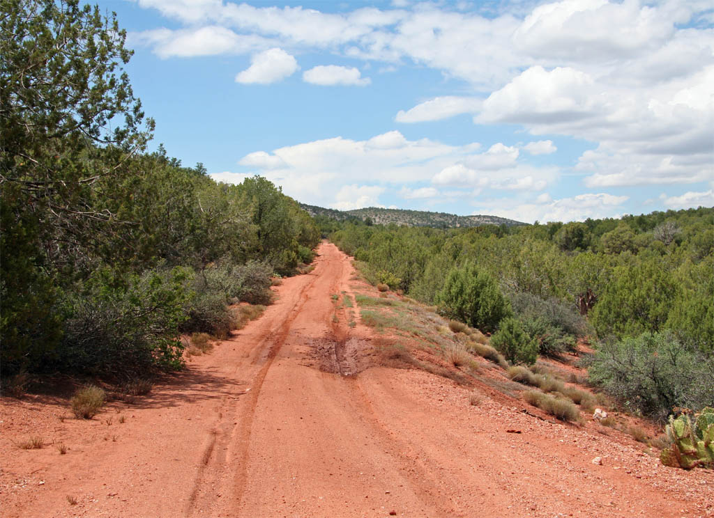
There must have been a fairly long low trestle across this stream bed.
I would estimate a trestle that was about 300 feet in length.
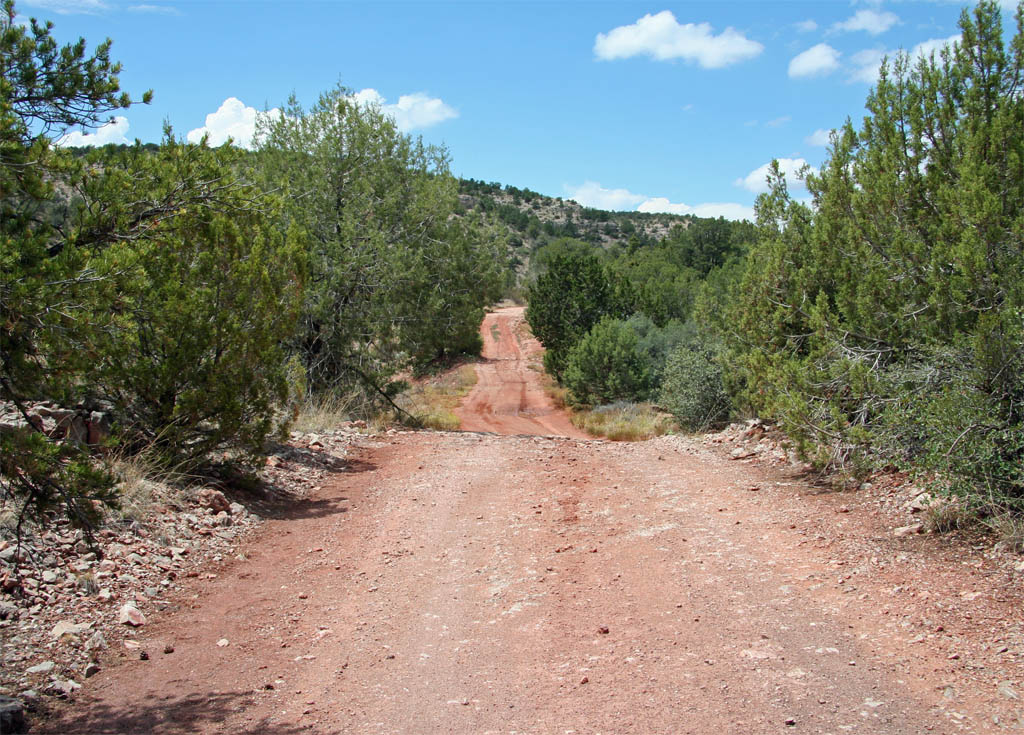
The forest road drops down of the grade along this section to bypass the
site of another trestle. This trestle was probably in the range of
230 - 250 feet in length.
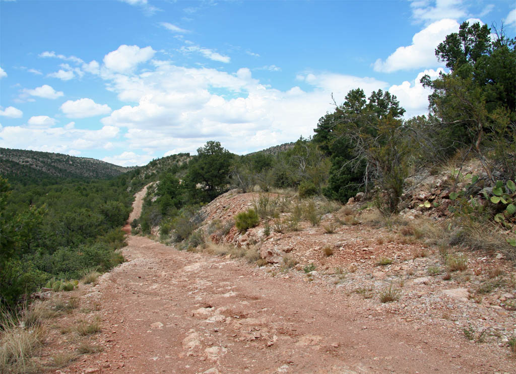
A view up the southern end of the trestle site.
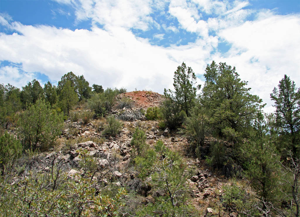
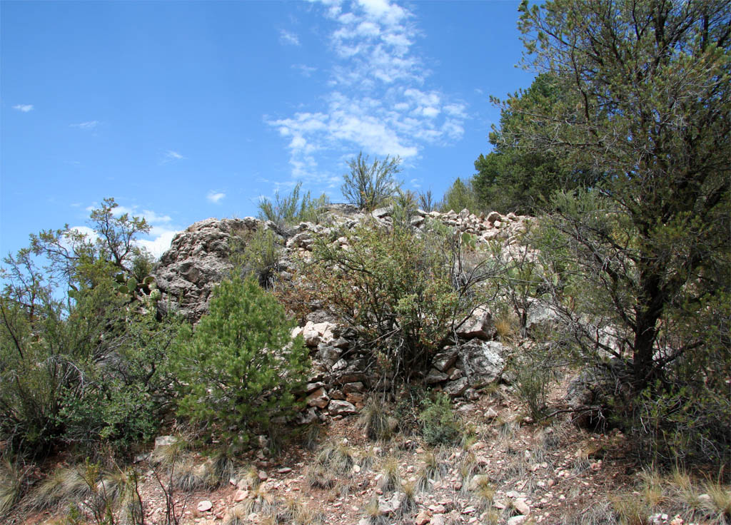
Some of the stonework for the various levels can be seen in this shot
of the north end.
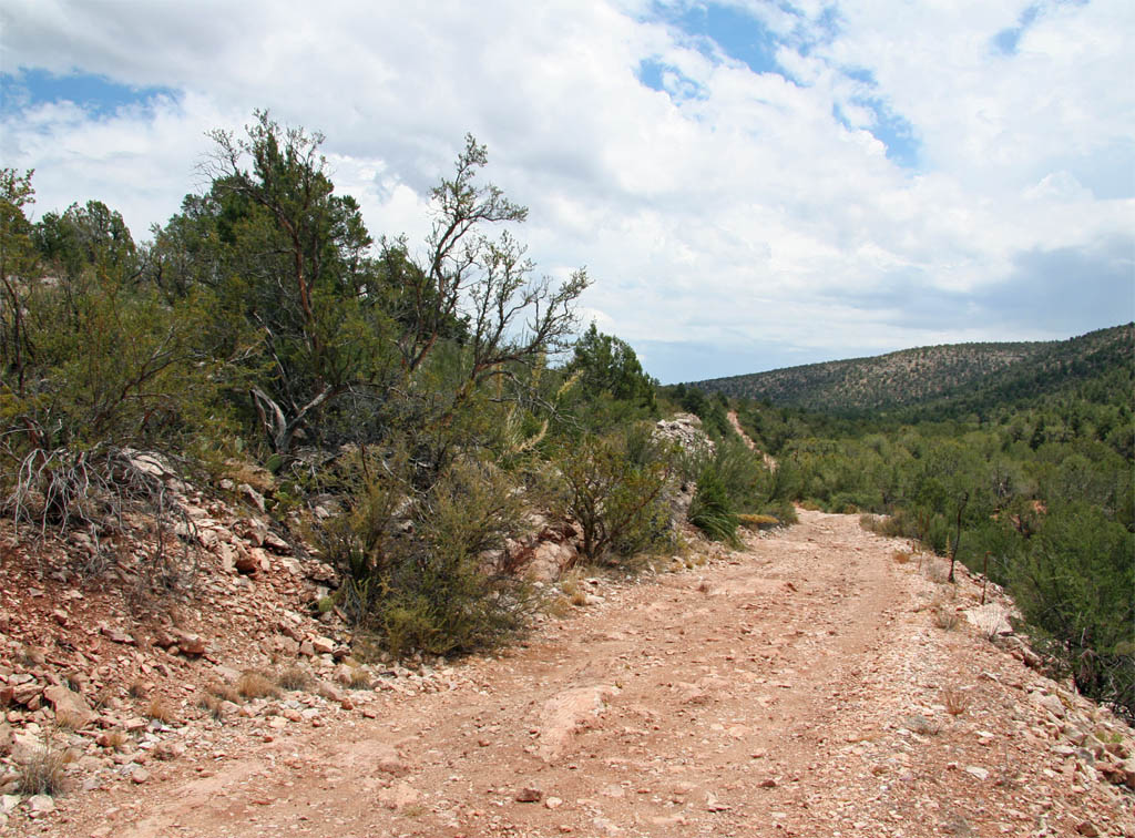
This is a view back to the south as the road climbs back up to the grade
beyond the trestle site with the grade level visible on the left.
Page 4