Santa Fe, Prescott and Phoenix Railway
1892 Route
This segment starts out just below Summit and we have gained about 140'
in elevation since the start of the high line hike down at bridge site 29.
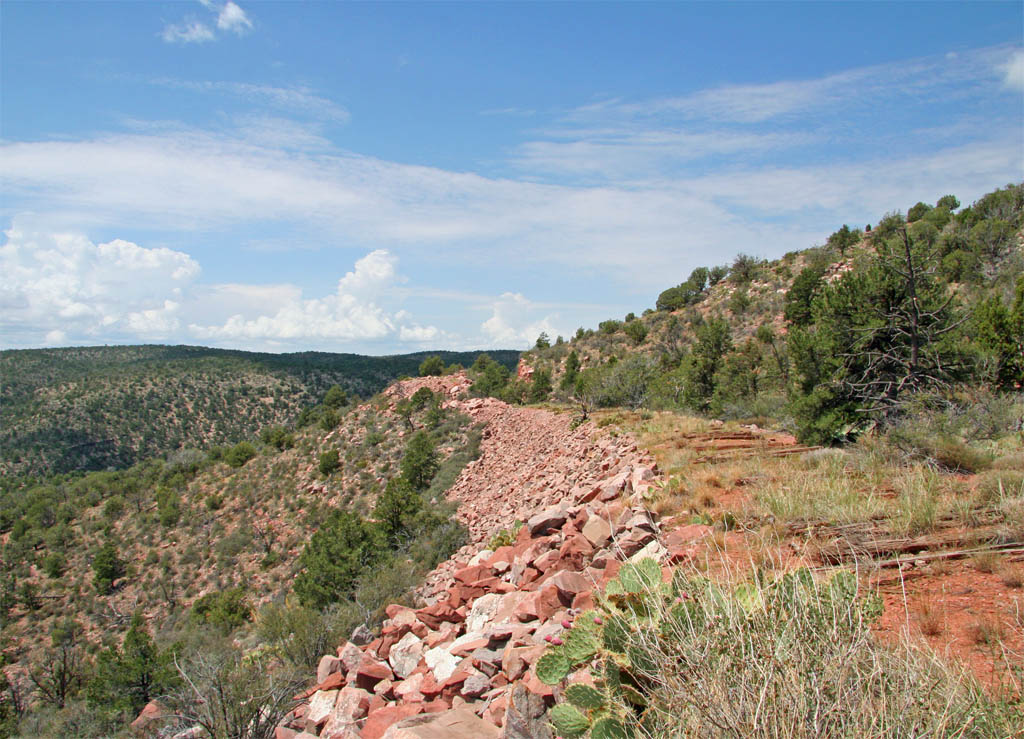
The wide open grade is now about to end as we head into another cut.
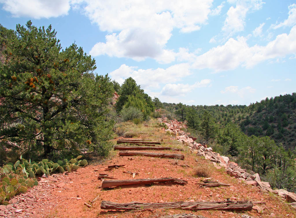
A view back down the grade that we just traveled showing how open it is
along this stretch.
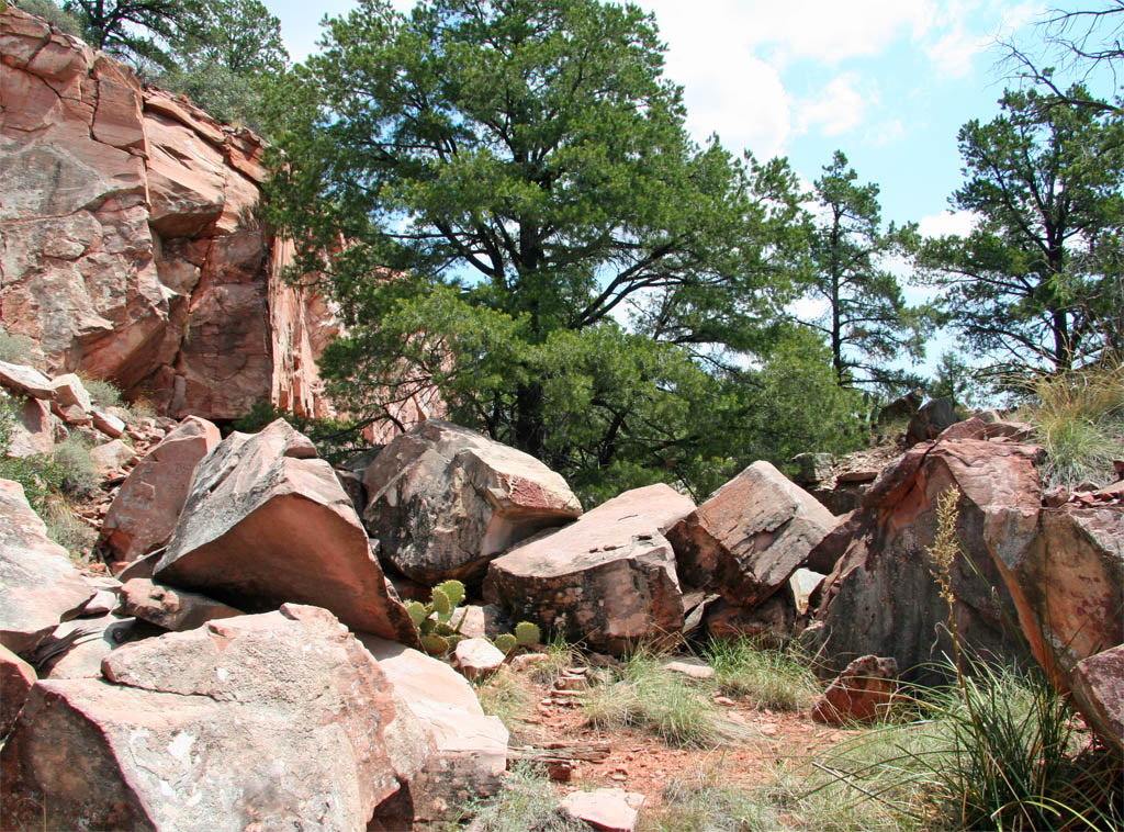
That is quite a pile of boulders not to mention the huge pine.
This is another one of those cuts where it is better to walk along the
edge than scramble over and through the obstacles. Think of all of the interesting
locations for photo ops along this 4 mile or so stretch of the grade.
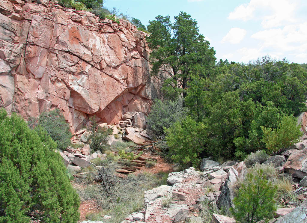
Coming out of the cut we have a fairly long tangent with another trestle
site coming up.
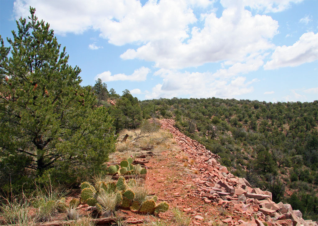
I would estimate that this trestle was about 140 feet in length.
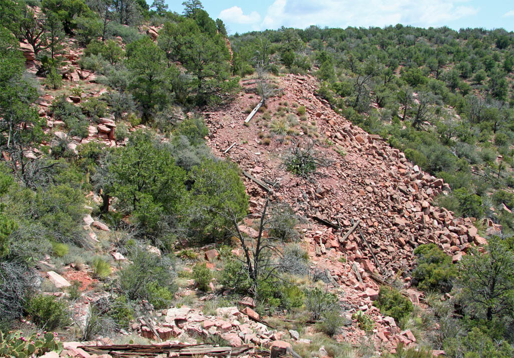
A view back from the other side.
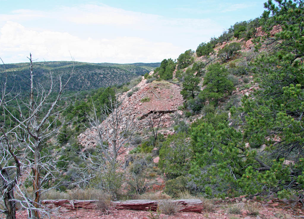
Heading into the next cut we are still climbing.
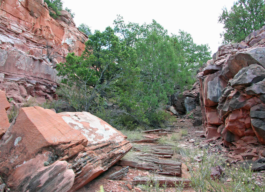
Coming out of the cut the grade heads into a curve to the north. We have
hit the summit and will start heading down grade to Rock Butte.
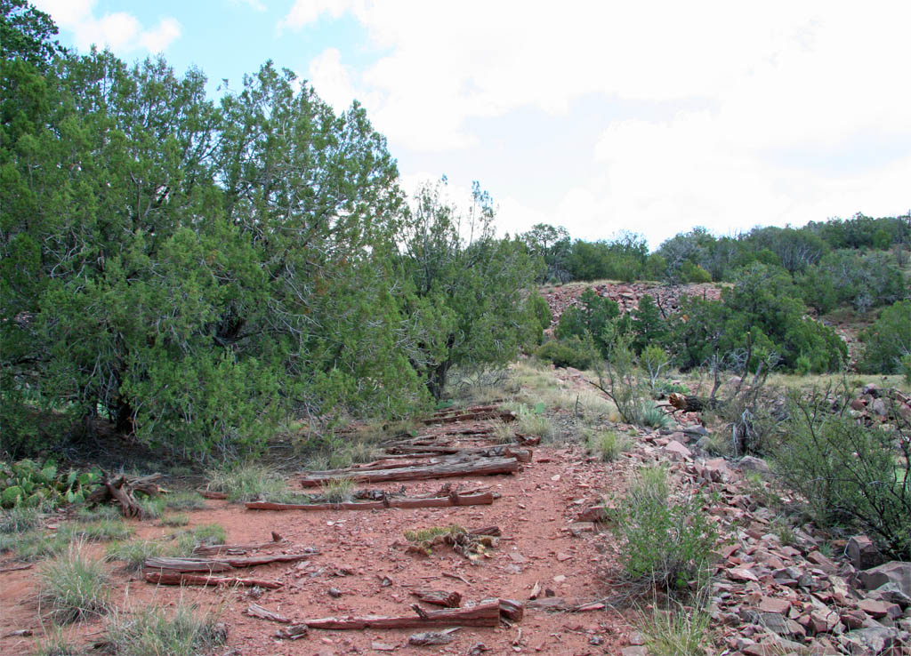
I thought for sure that I would find a wood box under the grade up ahead
but I couldn't find anything on either side. To the left there was a lot
of mud so it may be buried. To the right there is rock a channel and maybe
rocks have fallen down over the years and buried that end.
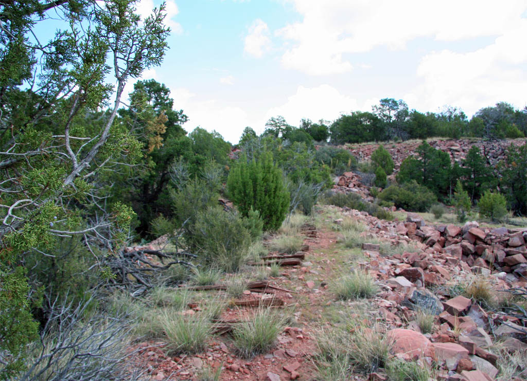
Time for another scenic red rock cut.
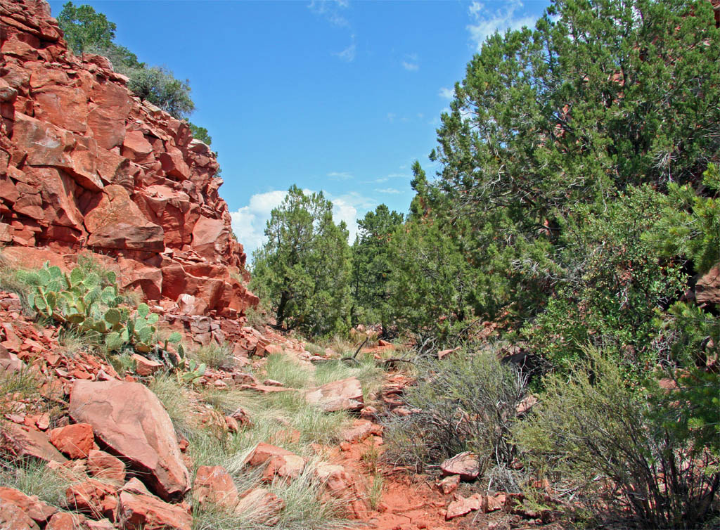
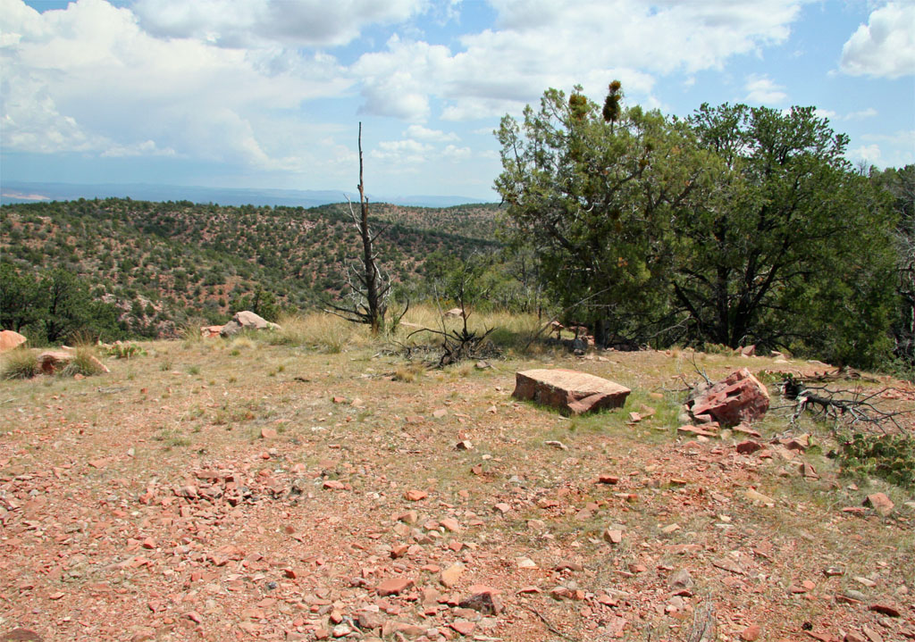
Possibly a construction camp location while working on the cut leading
to the summit.
This section of the grade is interesting as it is just a continuos shallow
cut. It gets crunchy in here as the ballast seems to be cinder rock.
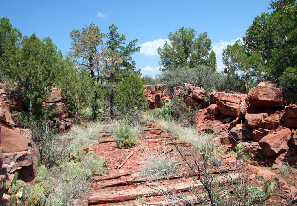
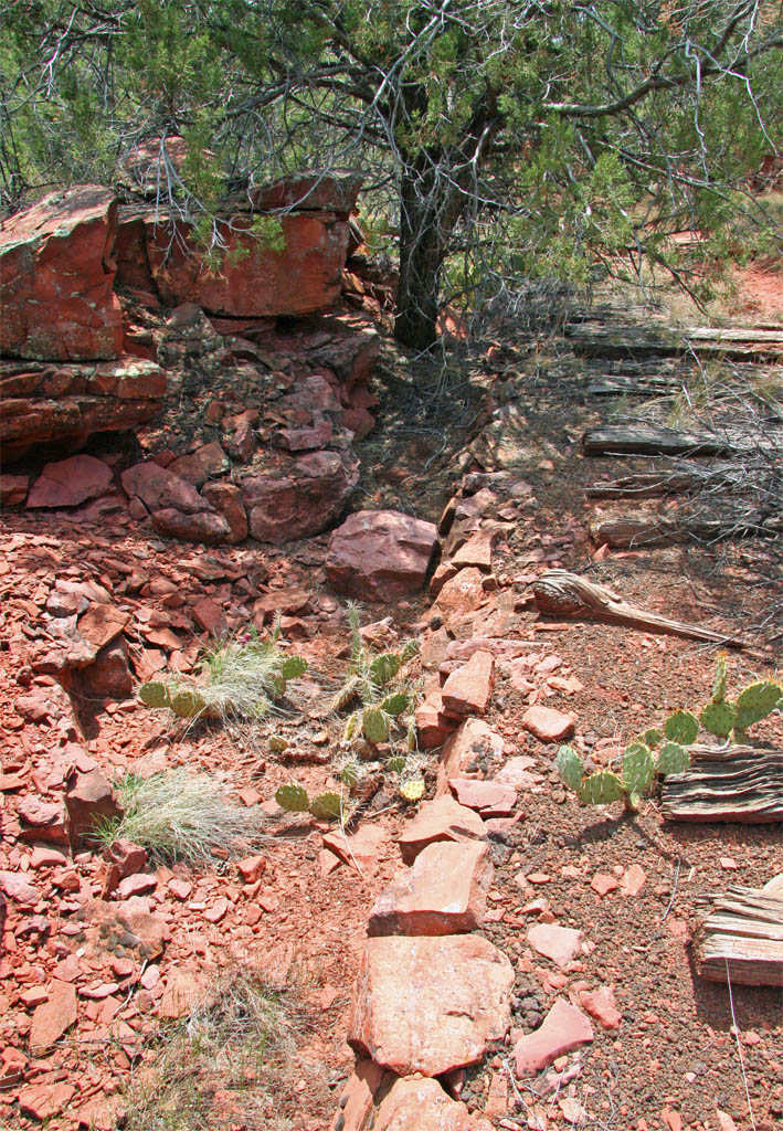
The rock work is interesting in here as a channel has been made between
the edge of the grade and the wall of the cut. That is all for this installment
and we will head to Rock Butte and Wicklow in the next section.