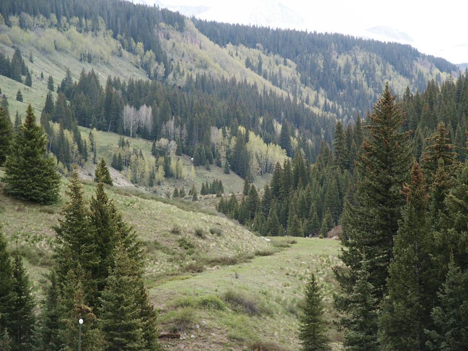
This shot provides a view of the grade at the north end of Bridge 58A.
The shot is taken from the highway which would have been the south end of
the bridge. The site of bridge 57B can also be seen near the center of the
shot. The northern end would have been near the small group of trees just
over the hill in the foreground. You can also see the upper part of the grade
just to the left of center where the light patch of dirt is. If you have
volume IV of "The RGS Story" you might want to compare it to the lower shot
on page 421. This shot shows K-27 461 derailed near my current location and
was taken on June 5, 1951 by Richard Kindig. I was about 54 years too late
to capture that scene. Photo by Dave Dye on June 4, 2005.
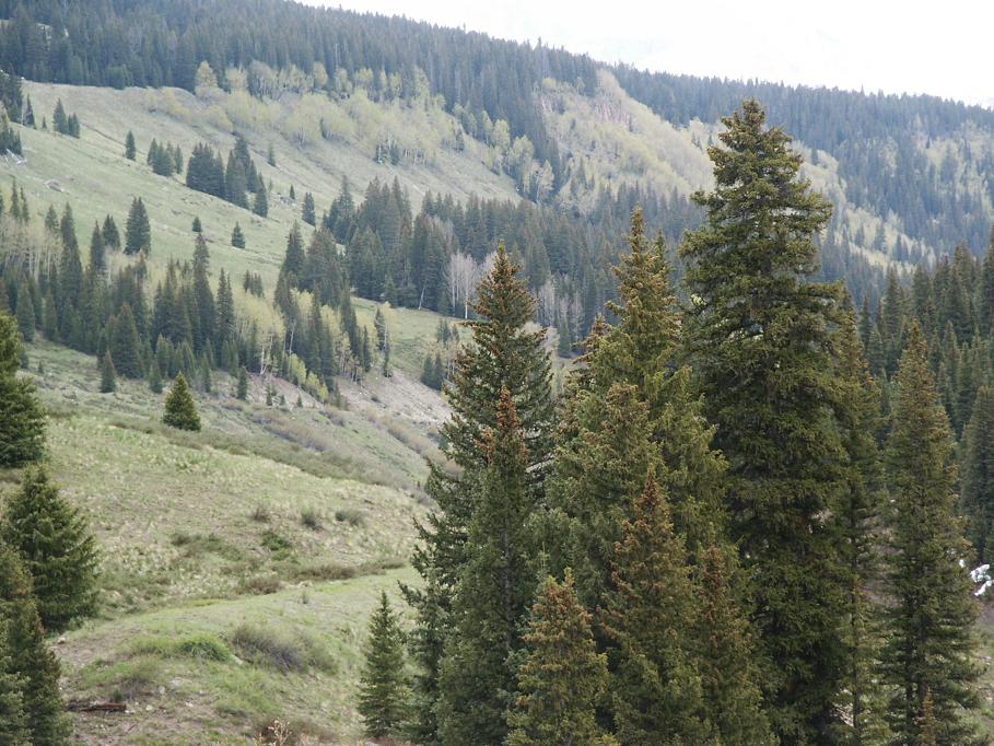
Another shot from the site of bridge 58A from a slightly different angle.
In this shot you can clearly see the upper grade coming down the hill near
the center of the photo. This would be the grade approaching bridge 57A which
was further down the canyon. Photo by Dave Dye on June 4, 2005.