Magma Arizona Railroad
The Narrow Gauge Route
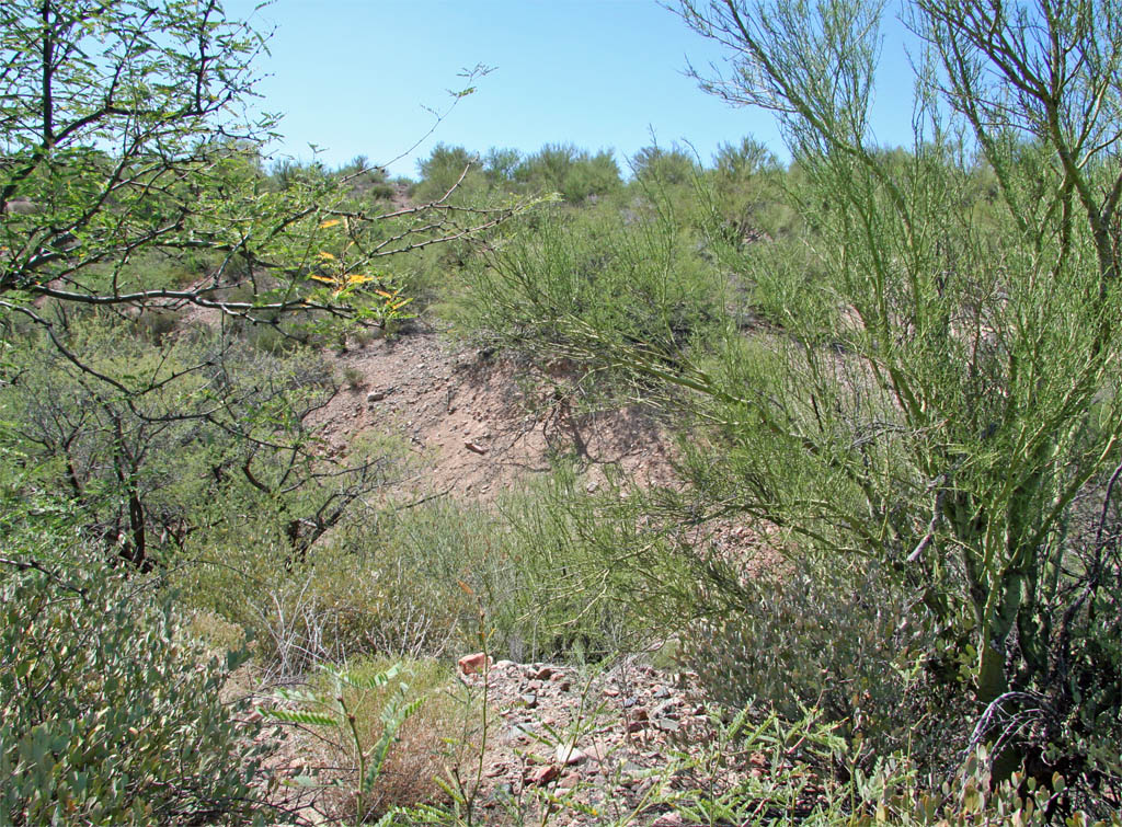
This next segment picks up at the other side of the ravine were we left off.
It is a short hike from the forest road just north of the power substation.
The grade is fairly open until you get right up to the bridge site. I
didn't really find any remains from the bridge.
 The grade curves to the southeast after the stream crossing and runs into
the forest road.
The grade curves to the southeast after the stream crossing and runs into
the forest road.
After crossing the road, the grade heads south down towards the power
substation.
 Another small washout that was probably the location of a wood box.
The grade starts to disappear at this point due to all of the grading for
the power substation.
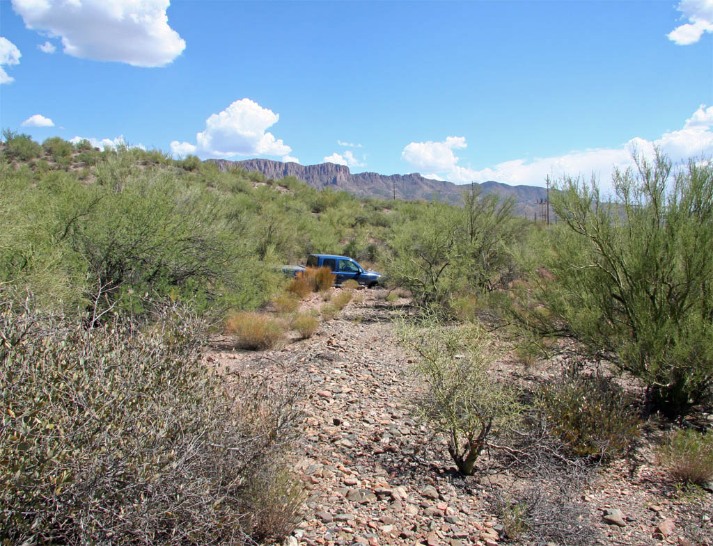
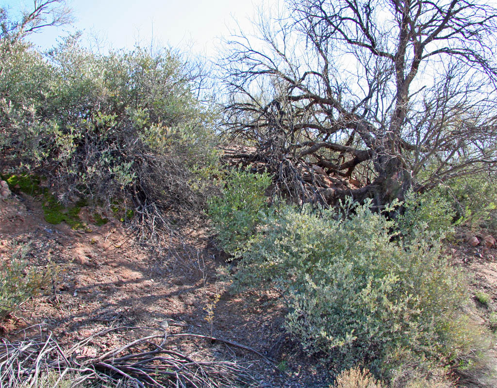
The next spot to pick up the grade is on the south side of the wash just
south of the substation and the side road. This would have been the southern
approach to the bridge crossing the wash. I didn't find any remnants of the
bridge but the concrete pads may be covered with quite a bit of sand. It
is really thick in here on both sides of the wash making it difficult to
find the northern approach.
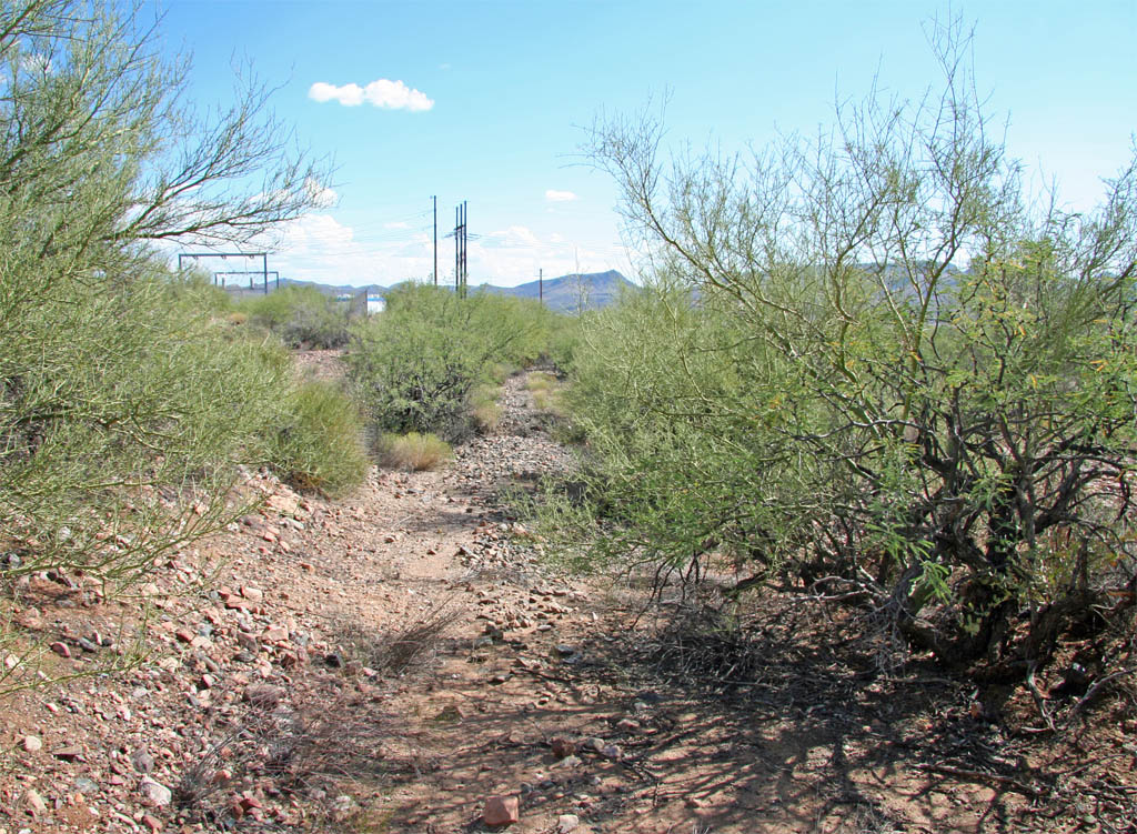
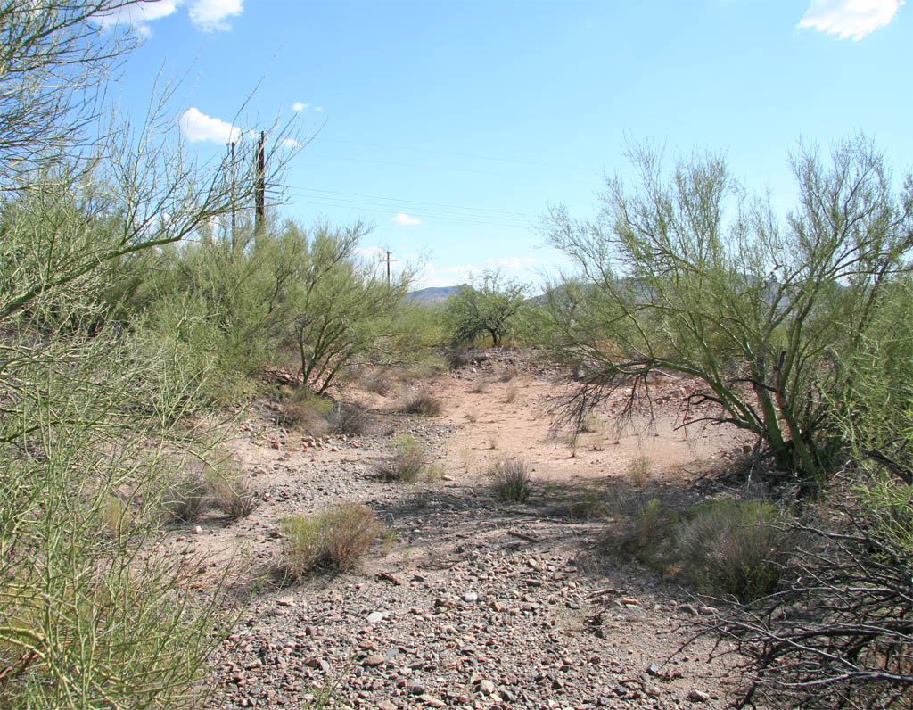
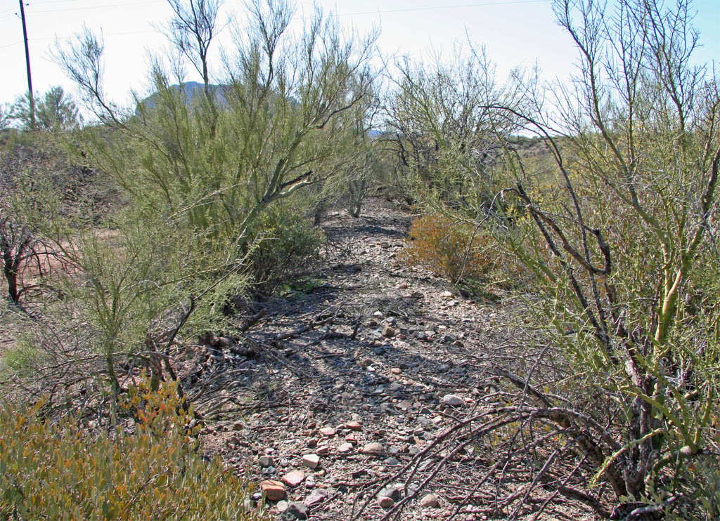
This view to the north is as the grade makes the approach to the crossing
wash. It gets to thick in here to get a descent shot from the edge. The wooden
poles of the substation can be seen in the background.
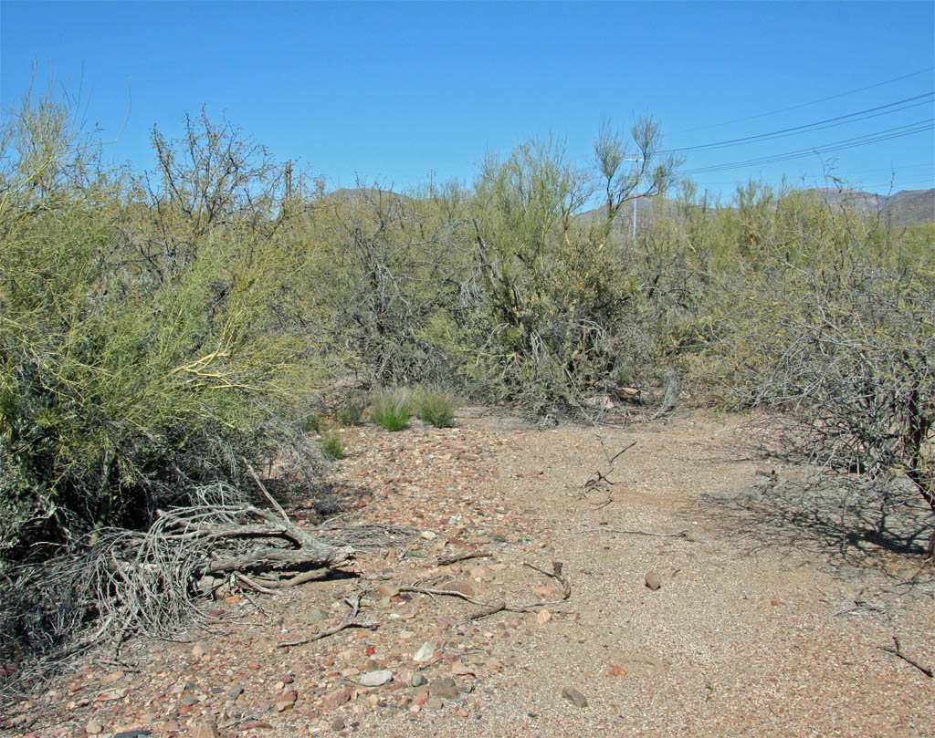
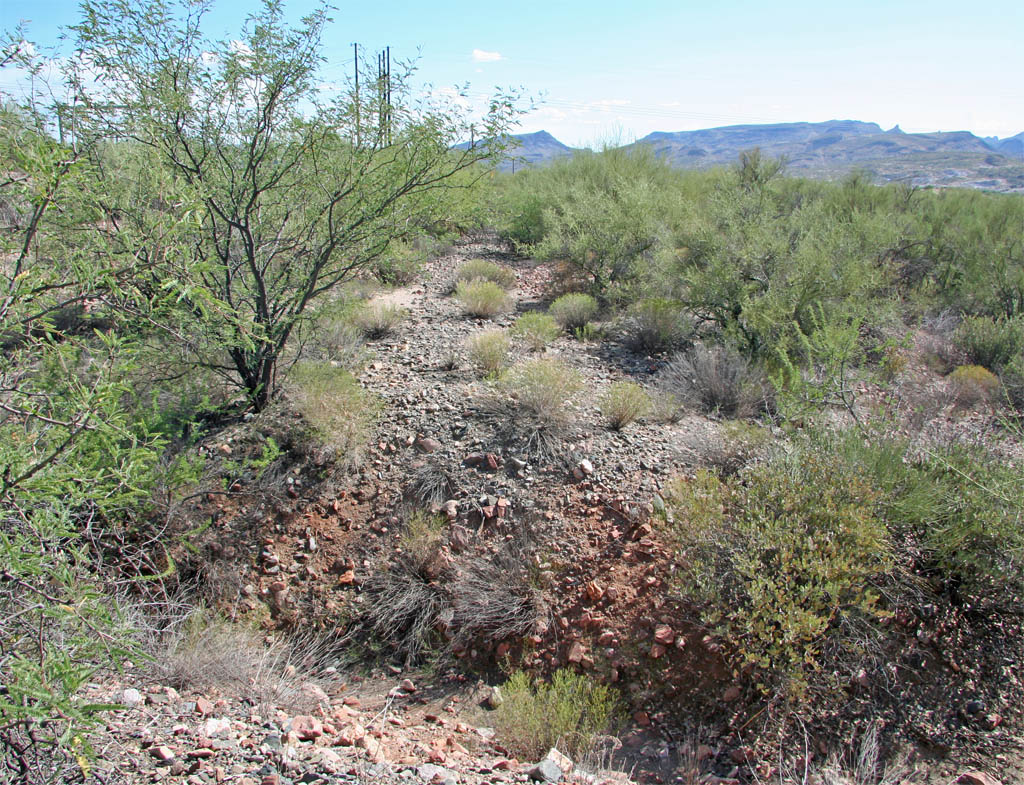
This view is to the northeast as the grade loops around the hill side
towards the crossing of the wash.
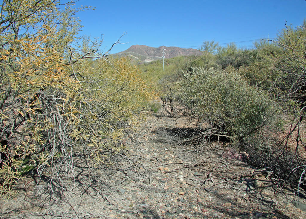
This final view is to the southwest as the grade curves around the hillside
to enter the mill site. Picketpost Mountain can be seen standing prominently
in the background. There probably isn't much more that can be explored without
venturing onto private property at this point. The brush gets very thick
in here as well.
Page 17