Magma Arizona Railroad
The Narrow Gauge Route
This next segment starts at about milepost 19.7. The NG is on a ledge
down below the road and the SG is up on a ledge above the road. The grade
won't be as overgrown but rock slides from the road construction above has
covered portions of the grade.

A power pole occupied the grade at some point. The dry stream bed of
Queen Creek can be seen on the left. In the center, Hewitt Station Road can
be seen above the grade. Above the road is a cut for the SG route as it heads
around the hill towards Superior.

In this shot, the pipe that runs along the SG route can be seen high above
along with the road in between the two grades.

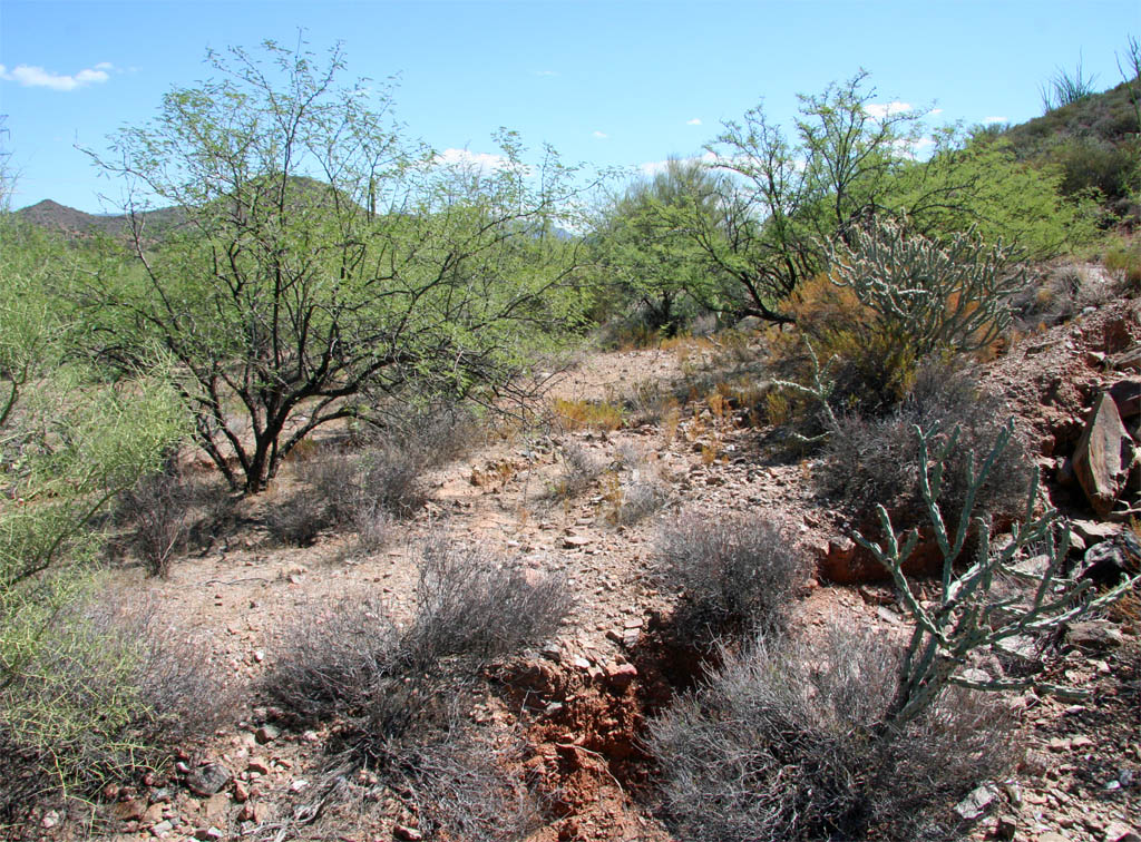
It looks like we are not quite out of the "woods" yet. A few more scratches
on the arms to mark the journey.

Out of the brush and into the rock slides and another very green ocotillo.

Well there used to be a grade here.

This is the most rock work that I have seen along the line so far.
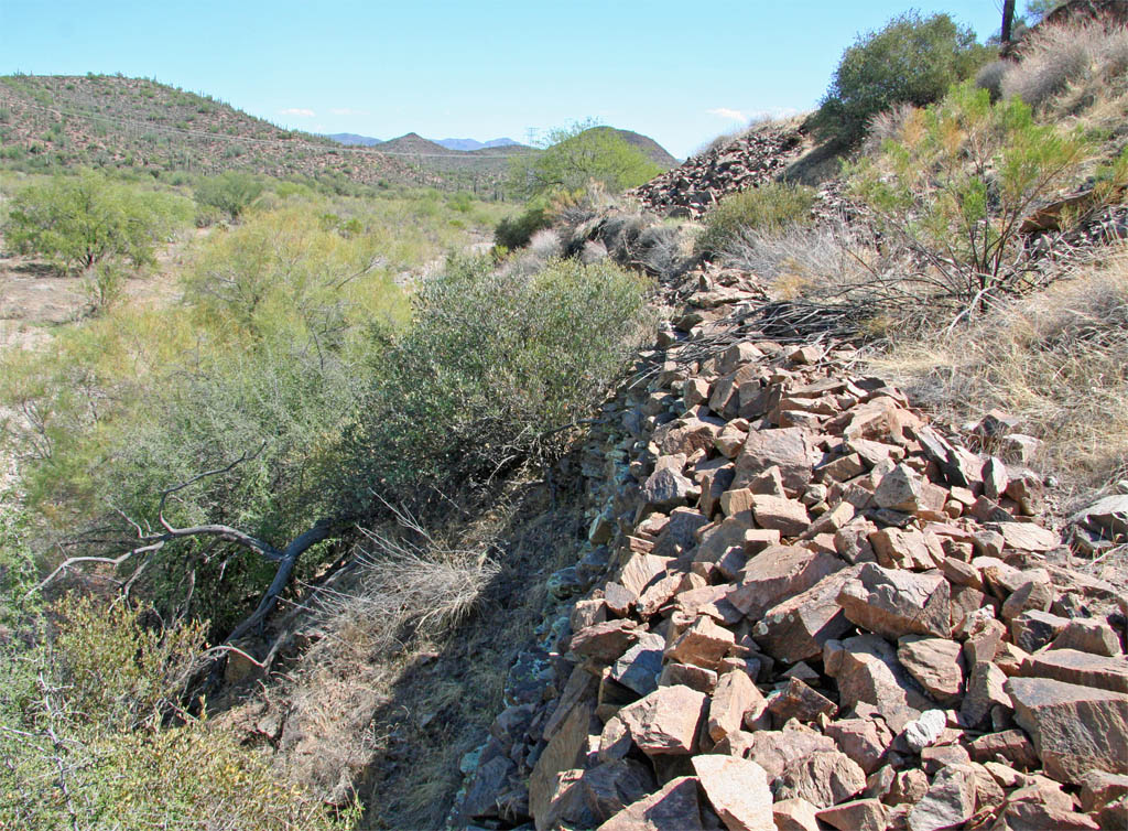
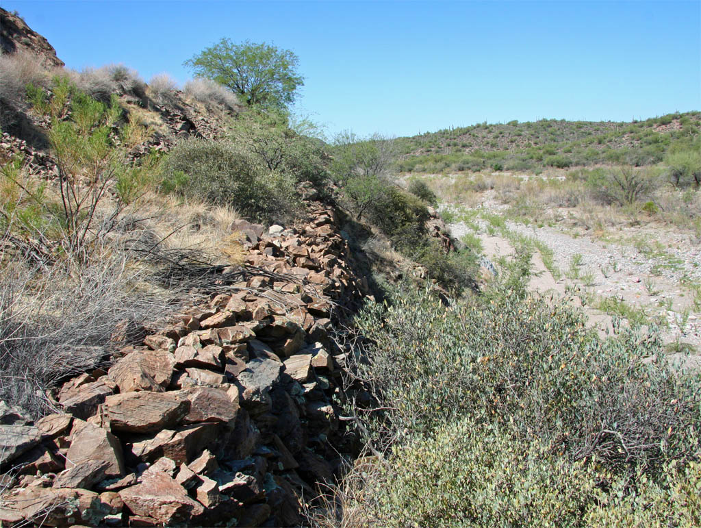
Another view of the wall looking back in the opposite direction.
Another big rock slide from the road construction has covered most of the
grade. Many of these rocks may be from cuts that were made up higher on the
SG line.

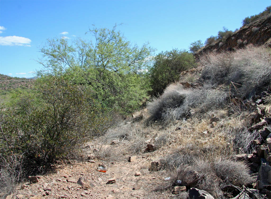
Beyond the rock slide it is back into the thorny brush so it is time to
hop back up onto the road.
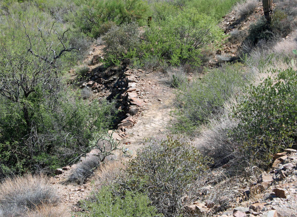
Once back up on the road, I took this shot looking down on the grade beyond
the thick brush. It looks like we have another rock wall.
Just a little further down, the road and grade are quickly reaching the
same elevation and it won't be long until the grade switches to the other
side of the road.
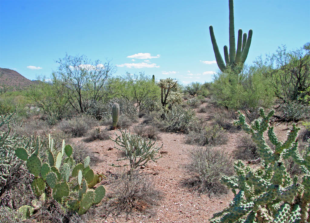
It is hard to image today the little 2-4-2s steaming past this magnificent
saguaro. I wish that I could find some period photos out along the line.
Continuing to head up the grade along the prickly pear route.

The grade is rapidly converging with the road. This will conclude the
segment and we will pick up on the other side of the road in the next installment,
around milepost 20.

Page 7