Santa Fe, Prescott and Phoenix Railway
1892 Route
This next installment takes us up into the big horseshoe loop that was
required to gain enough elevation to make it up to the summit. This is the
most interesting section of the grade requiring numerous trestle with some
of them being filled in over the brief time span of this route. We
start our hike at what was known as bridge crossing 29 which is at the curved
part of the loop. The fill in the prior installment formed the western leg
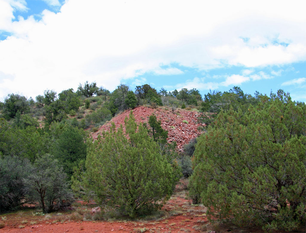
of the horseshoe and we will be hiking into the eastern leg. This first shot
is from the forest road looking at the climb we must make up onto the grade.
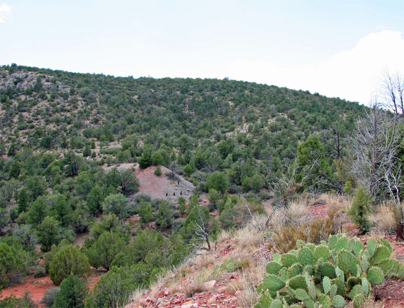
This next shot is looking back across bridge crossing #29. The grade formed
a big loop in here before going through a cut and ending up on the west
leg of the horseshoe. This trestle was approximately 450 feet in length.
Be sure to compare this shot to the following turn of the century shot.
This shot comes from the digital collection at the Sharlott Hall Museum,
Sharlott
Hall Photo RR-209P , and provides a turn of the century shot at the
location above.
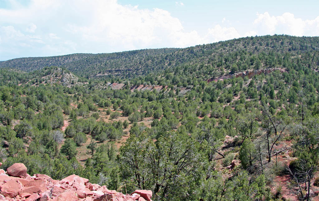
 This next shot is looking to the east with a couple of the upper cuts
and bridge sites visible in the background. We are in for some challenging
up and down hiking and those cuts probably won't be easy either!
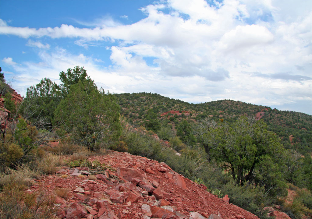
This next shot is looking to the east with a couple of the upper cuts
and bridge sites visible in the background. We are in for some challenging
up and down hiking and those cuts probably won't be easy either!
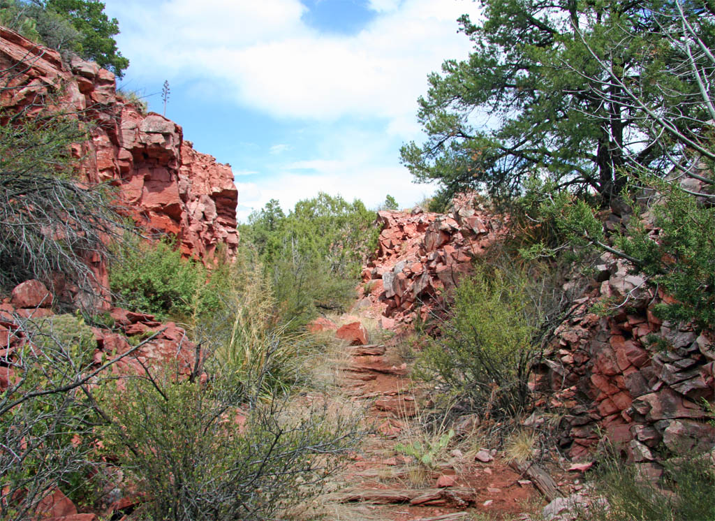
This is the first cut up above bridge #29 and it isn't too bad except for
a little overgrowth, no major slides. This is our first encounter with any
large quantity of railroad ties. The vegetation reminds us that we are still
in the upper desert transition zone.
After coming out of the cut we find the next bridge site (most likely 28).
This trestle looks like it may have been in the 250 -260 foot range.
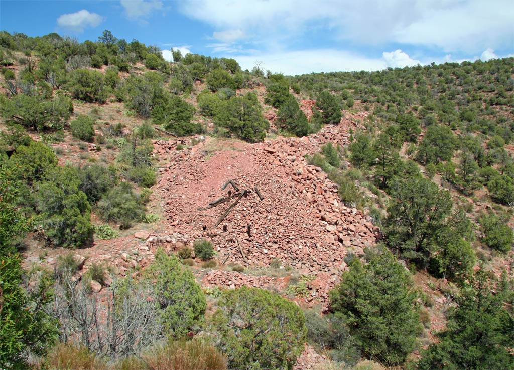
A view back across the bridge site and the cut just beyond (really bad
lighting). The lower grade is just barely visible at center left of the
shot on the far hillside.
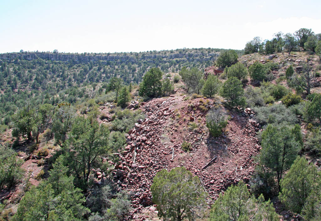
This view is to the southwest showing the long fill of the lower grade
along with the big cut to the right of the fill. At the far end of the fill
another trestle existed from the small hill at the end of the fill to the
approach at the taller light colored hill in the distance (where the forest
road enters this part of the canyon).
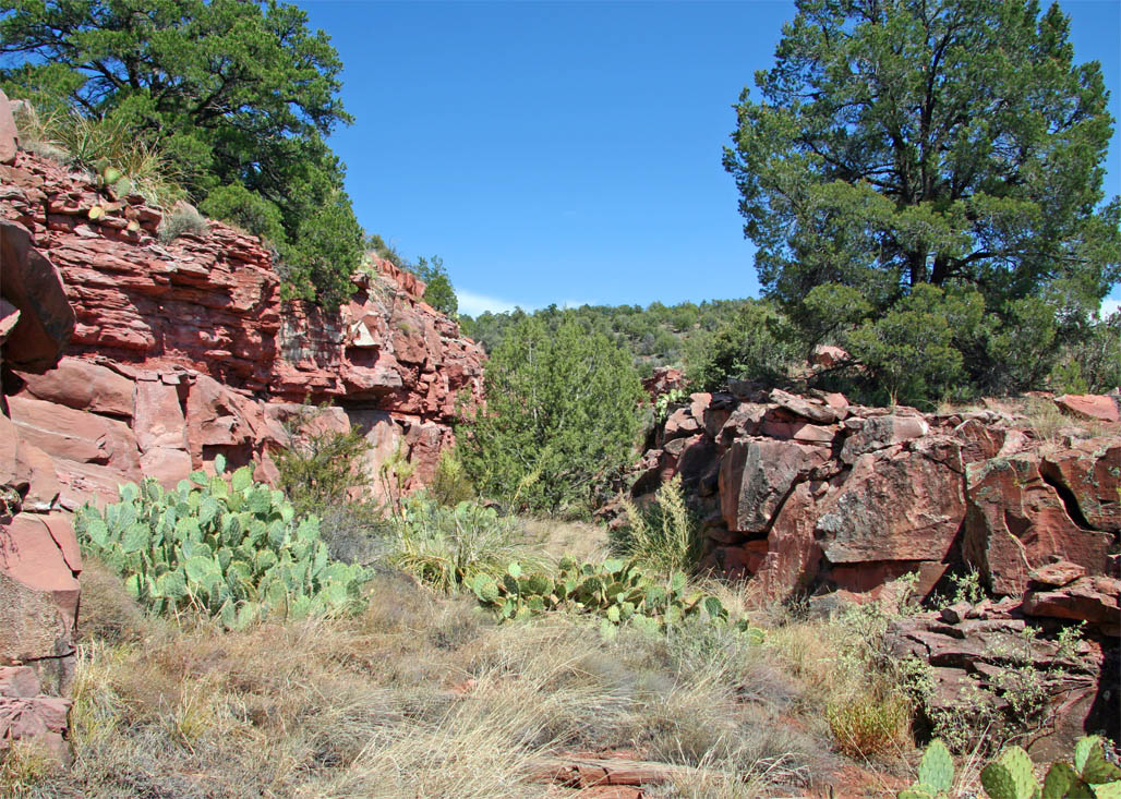
Beyond the trestle site we enter another rock cut. This one has quite
a few prickly pear and pinion pines to navigate around.
Coming out of the cut we get a glimpse of what must have been one of
the most spectacular trestles along the line. This one had a nice arc to it
and was probably around 400 feet in length. It also stepped down deeply into
the ravine with a few different terraces visible for the bents.
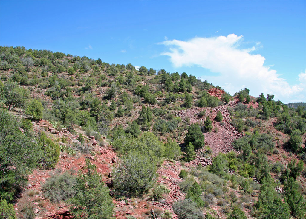
This is a view back across the trestle site from the opposite approach.
Note the grade carved into the hillside to the right of the far approach.
Was this an unfinished attempt to bypass the trestle or perhaps it was used
during construction.
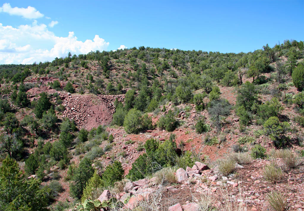
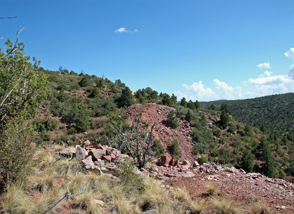
Beyond the trestle we enter yet another cut and this one will
be challenging with all of the overgrowth and rock slides.
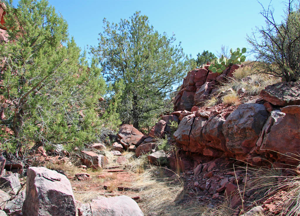
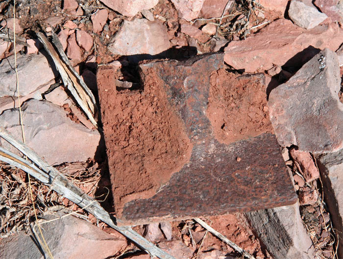
A rail brace.
Coming out of the cut it opens up a bit and parts of ties litter the
grade. The far approach of a large trestle can just be seen at right in the
distance.
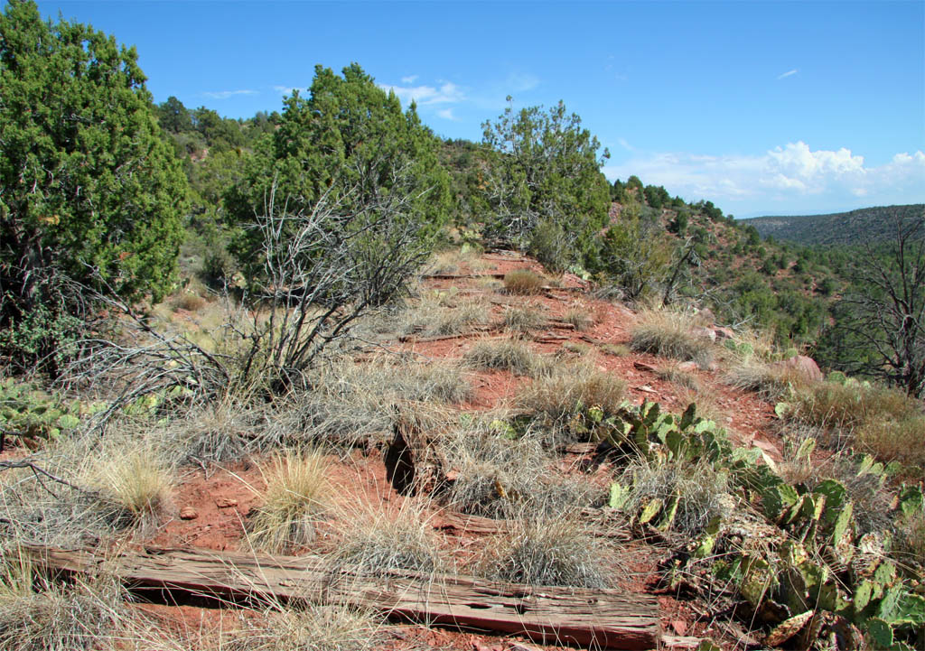
Before getting to the next large trestle, off in the distance, we hit
a short low trestle. Some of the posts can be seen at the center of the
shot.
This small trestle was probably about 50 - 60 feet in length.
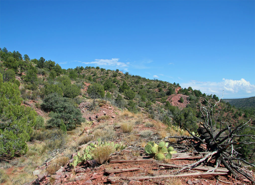
A view back across the low trestle with bridge site 29, where we started,
visible in the center of the shot.
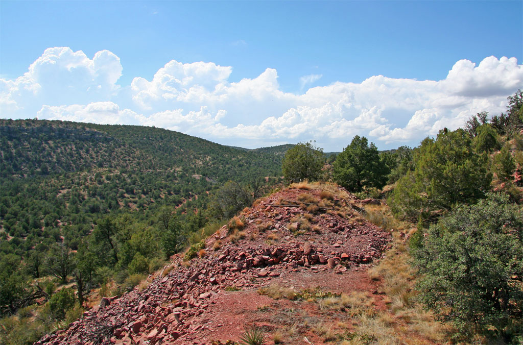
On the other side of the trestle we head into another cut. Looks like
it is time for some more boulder hopping and scrambling through the brush.
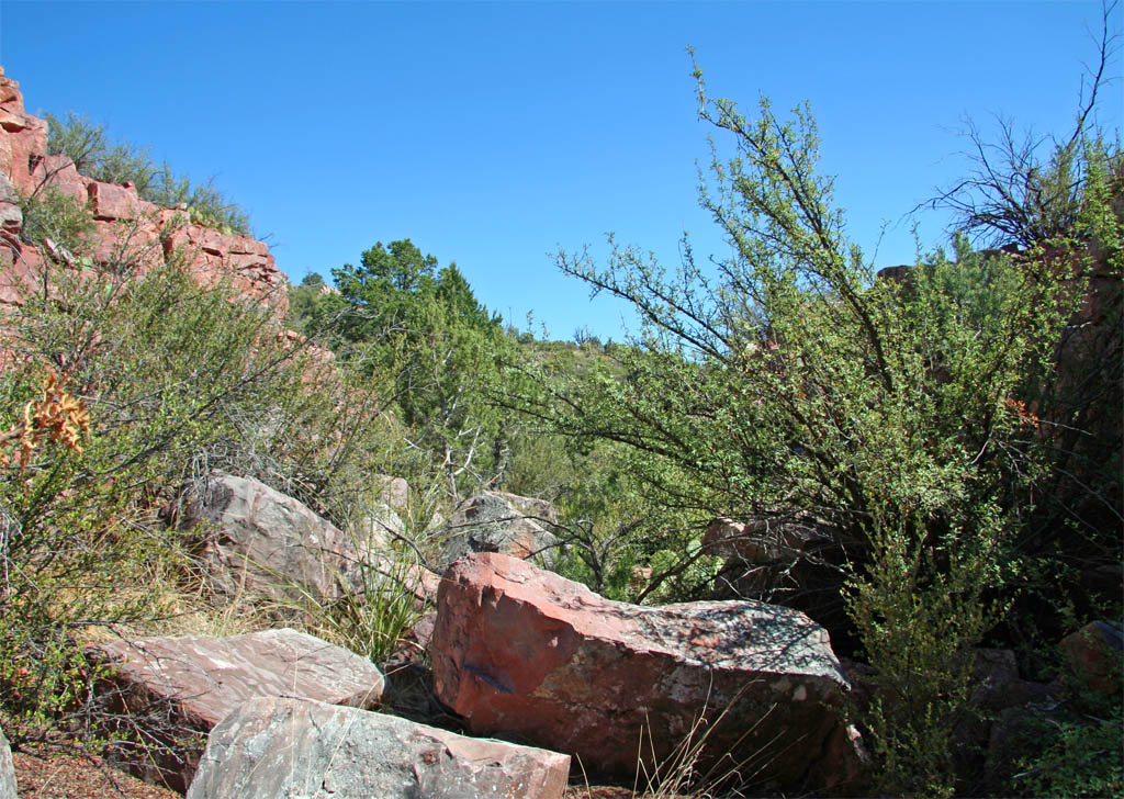
Out of the cut and we arrive at another large trestle site up on the
upper portion of the horseshoe loop. This one was probably only 150 -160 feet
in length but was pretty tall (it was a lot of work getting around this one).
That will do it for this segment and we will pick up on the other side with
another turn of the century shot.
Page 6