Santa Fe, Prescott and Phoenix Railway
1892 Route
This next segment was hiked on August 18, 2012 with temperatures in
the upper 70s at the start of the hike. There was 30% chance of rain and
the temps were down due to storms on the previous day. I decided to pick
up the grade where we left off on our July visit up at the last large trestle
before the summit. This time I came straight up the hill towards the cut
on the south end of the trestle. It was fairly steep but not too many obstacles.
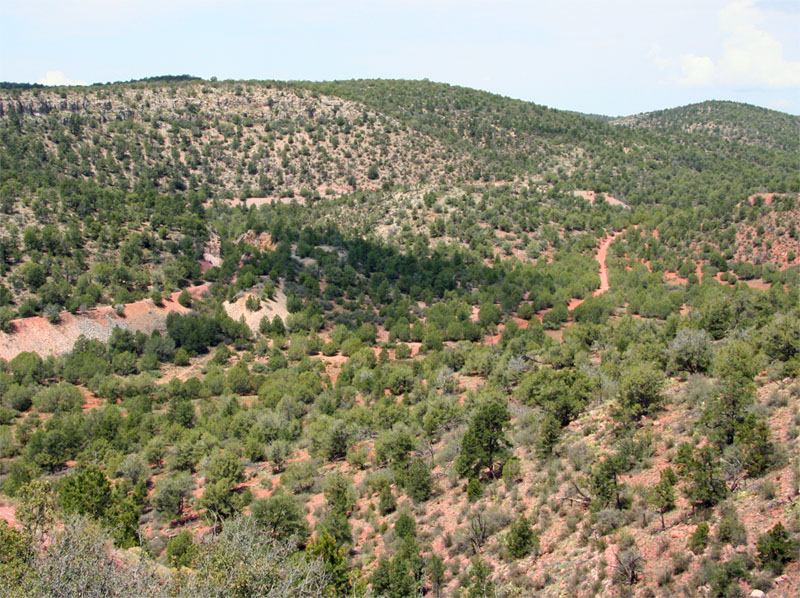
This first shot was to try and recreate a turn of the century shot that
features three trestles and shows most of the lower portion of the
horseshoe. The early shot also shows that the fill on the lower grade was
a replacement for an earlier trestle and explains all of the posts sticking
out of the southern end of the fill. Compare this shot to the Sharlott Hall
photo below.
This shot comes from the digital collection at the Sharlott Hall
Museum, Shalott Hall
Photo RR-106P, and provides a turn of the century shot of the location
above. This same shot is found in Myrick's "Railroads of Arizona V.
5" on page 77 minus the photo damage.

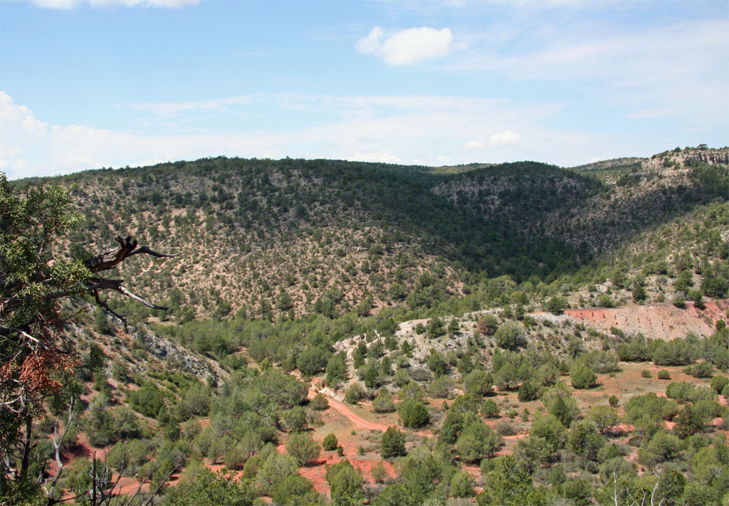
This next shot provides a view of the first trestle site on the lower
portion of the loop where the forest road enters the valley. The posts of
the original long curved trestle that was later replaced by a fill can be
seen in the red colored fill area on the right.
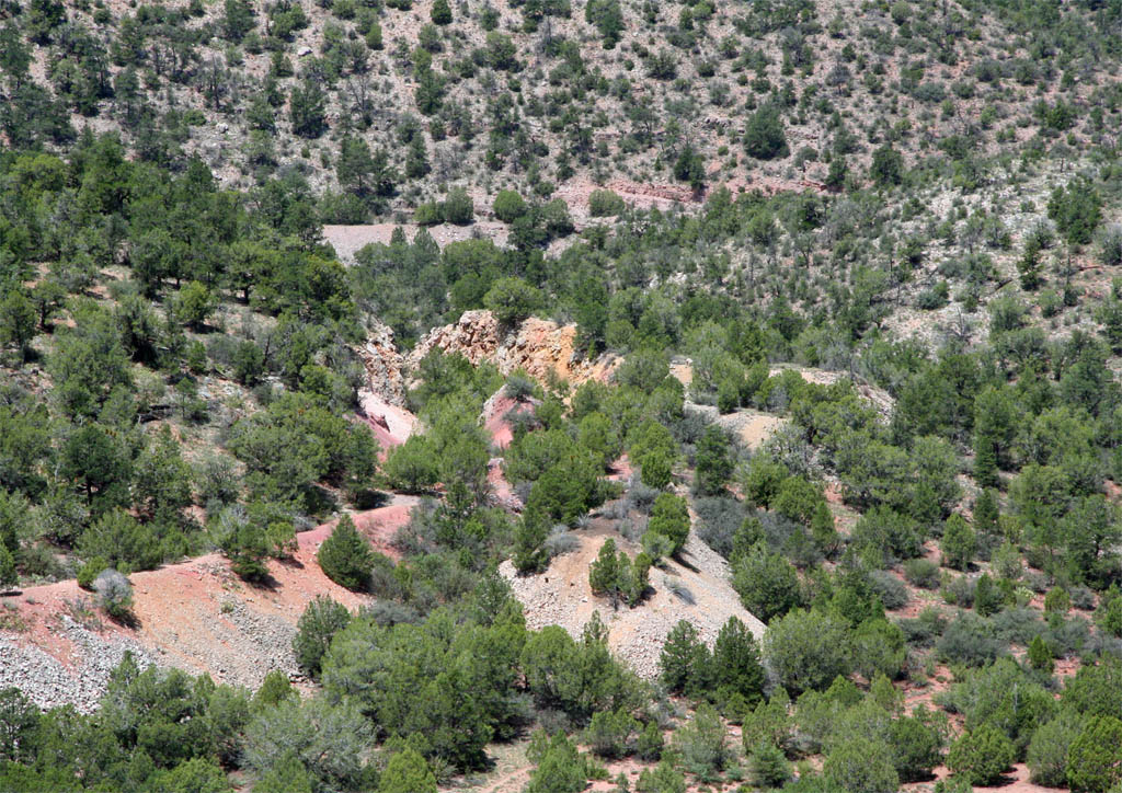
This view to the northwest provides a glimpse of the cut at the north
end of the fill on the lower grade. The original trestle approach can be
seen to the right of the present fill. It looks like additional cut work
had to be completed to accommodate the new alignment of the fill. I haven't
walked this lower grade yet but it will certainly be on my list for a future
trek. Hiking the upper portion of the loop is taking longer than expected
mostly due to my decreased tolerance to the heat.
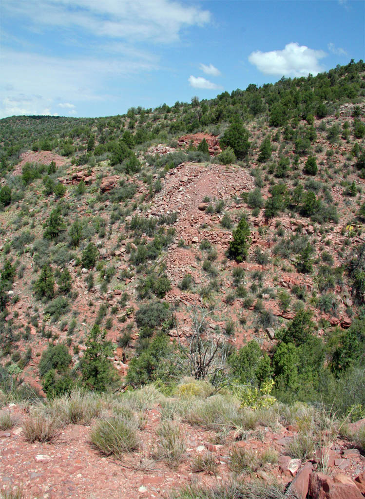
Back up at the tall trestle site we pick up where we left off during the
trip in July. This view to the north looks back down grade and gives you a
feel for the height of the trestle. The site of the prior short trestle can
also be seen in the bare dirt area at the left side of the shot.
Just beyond the trestle another cut is found. I decided to stay up out
of the cut due to all the overgrowth and rock slides. The outer edge looked
like fairly easy hiking.
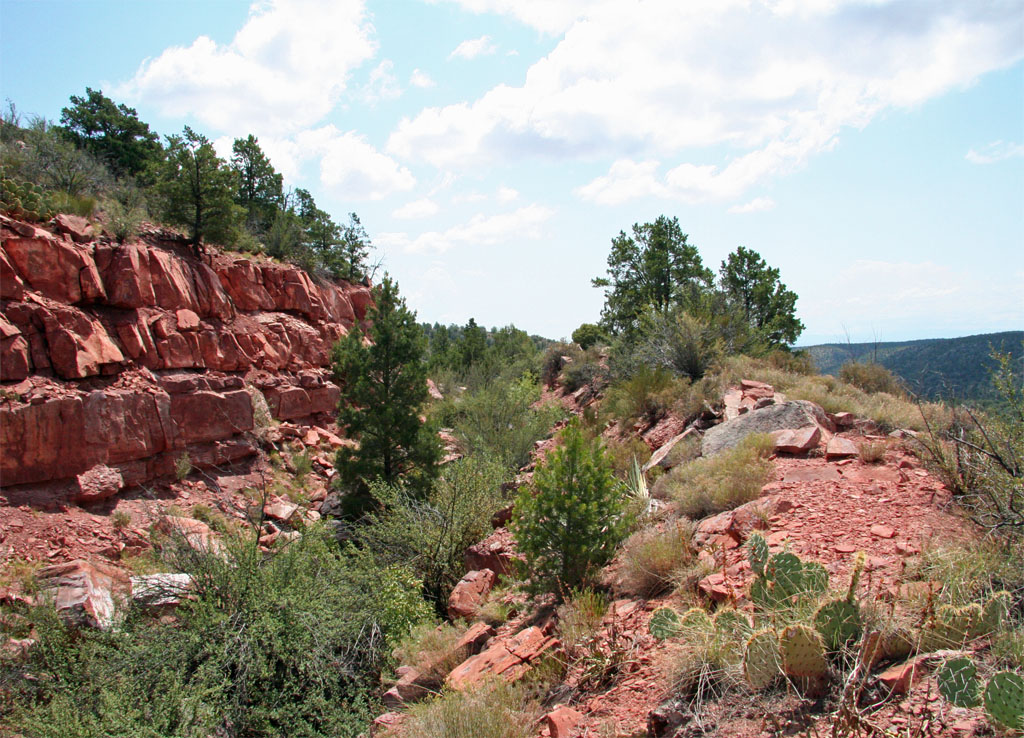
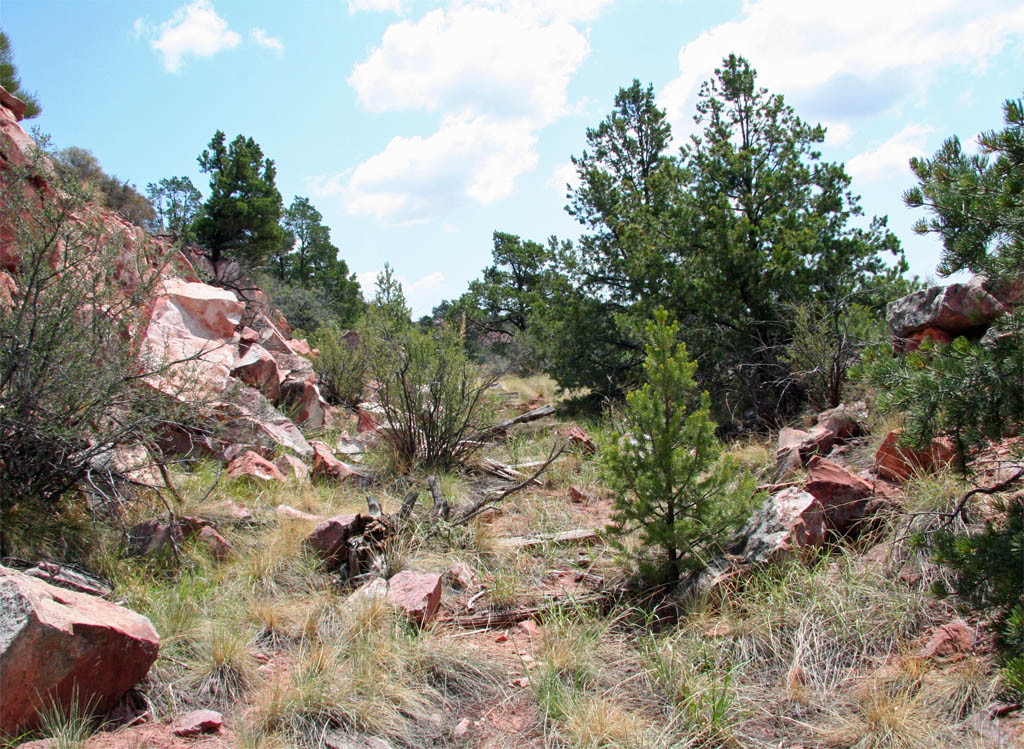
I dropped back down onto the grade towards the end of the cut where the
vegetation wasn't so thick.
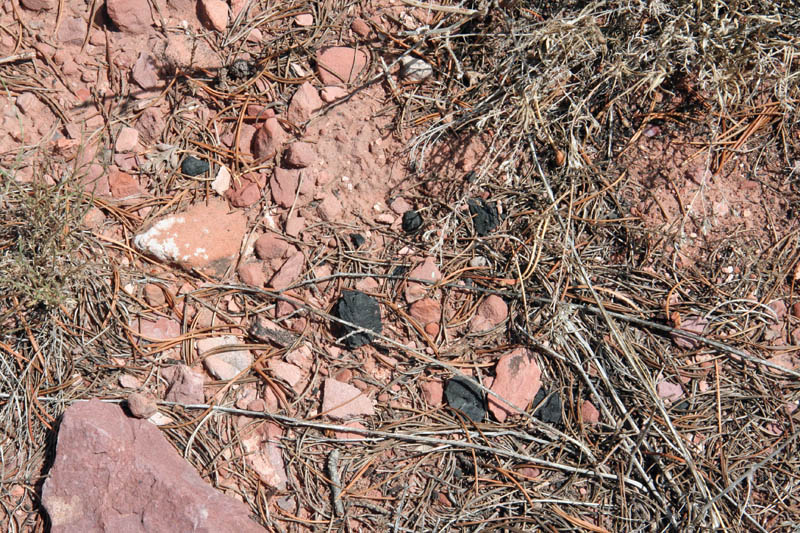
Traces of coal from long ago are still present up here on the hill.
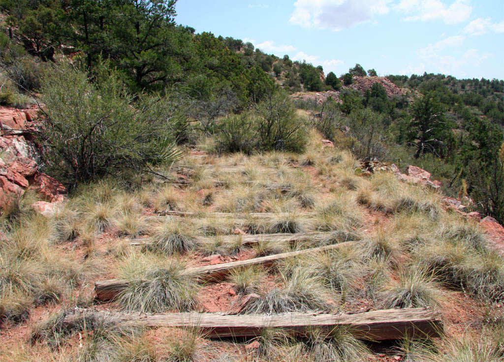
The ties up along here are more intact and pretty regularly spaced being
left in place after the rail and hardware were pulled up for use on other
parts of the line with the relocation that occurred around 1901. A trestle
site and cut are visible off in the distance.
This next view is of one of the smaller trestle sites on the way up to
the summit. This is the most complete portion of a trestle bent that I have
seen so far. This one was probably about 60 - 70 feet in length.
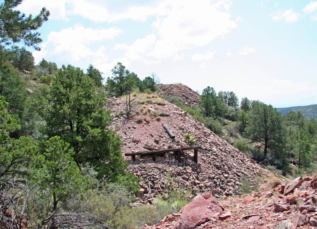
This shot was an attempt to capture the same view as another turn of the
century photo. Unfortunately this view isn't available from Sharlott Hall
but if you happen to have Myrick's Vol. 5 it will be found on page 84. The
classic view shows a locomotive and boxcar on the grade at the left of this
short trestle. The first trestle on the lower leg of the horseshoe is also
visible at the lowest point of this shot just to the left of center.
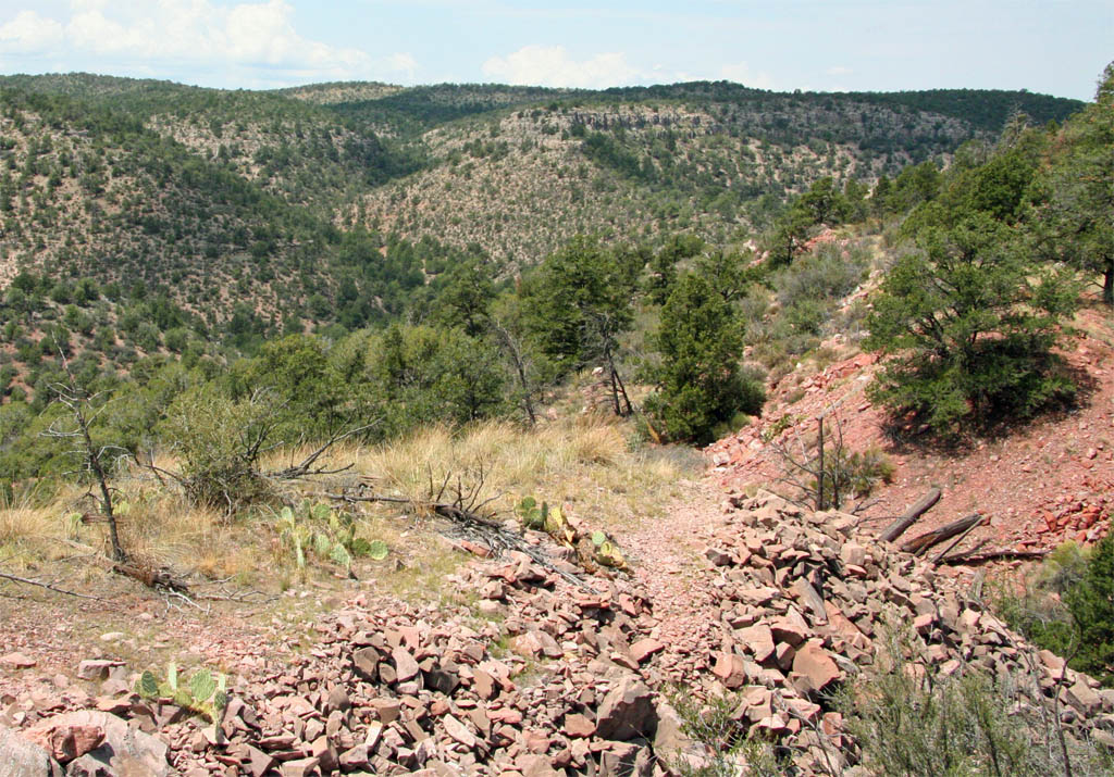
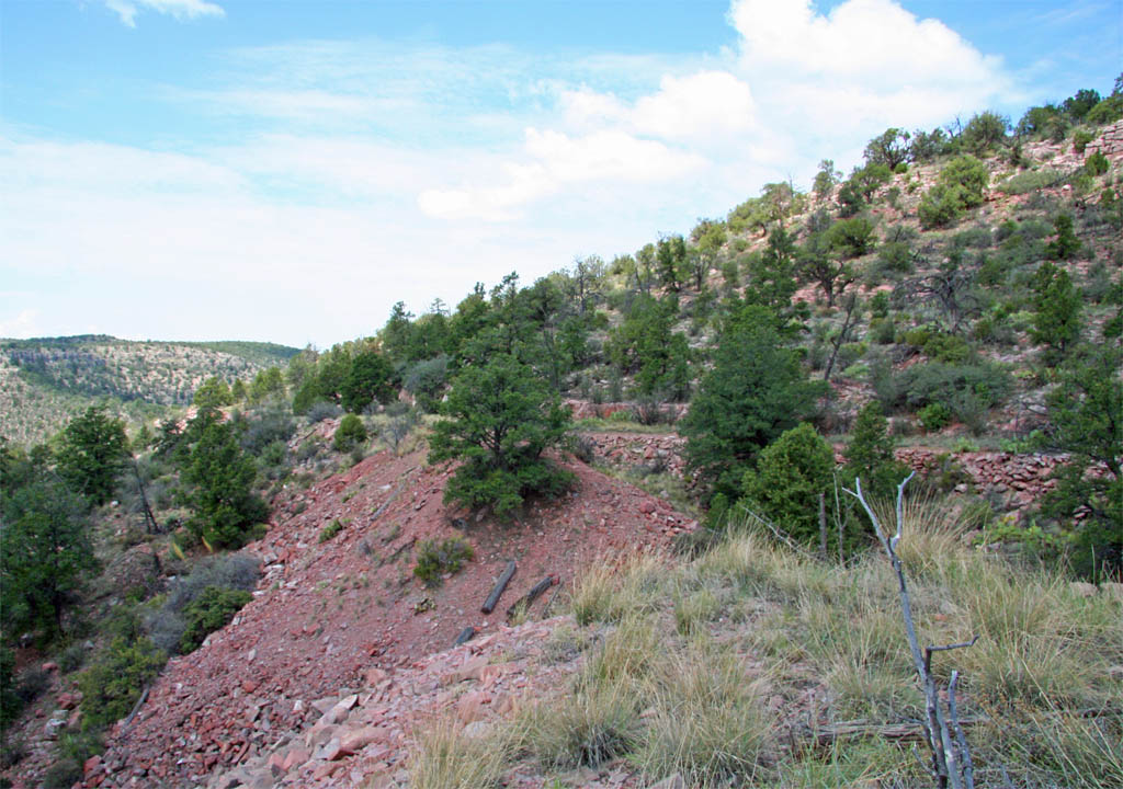
A view back downgrade across the short trestle site. Note the ledge to
the right of the grade that may have been an effort to bypass this trestle
or used during construction.
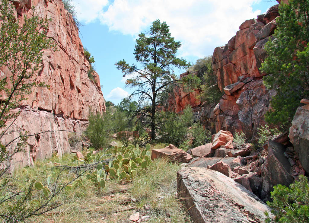
Beyond the trestle is a fairly deep rock cut on a curve. As with most of
this upper grade ties are quite abundant.
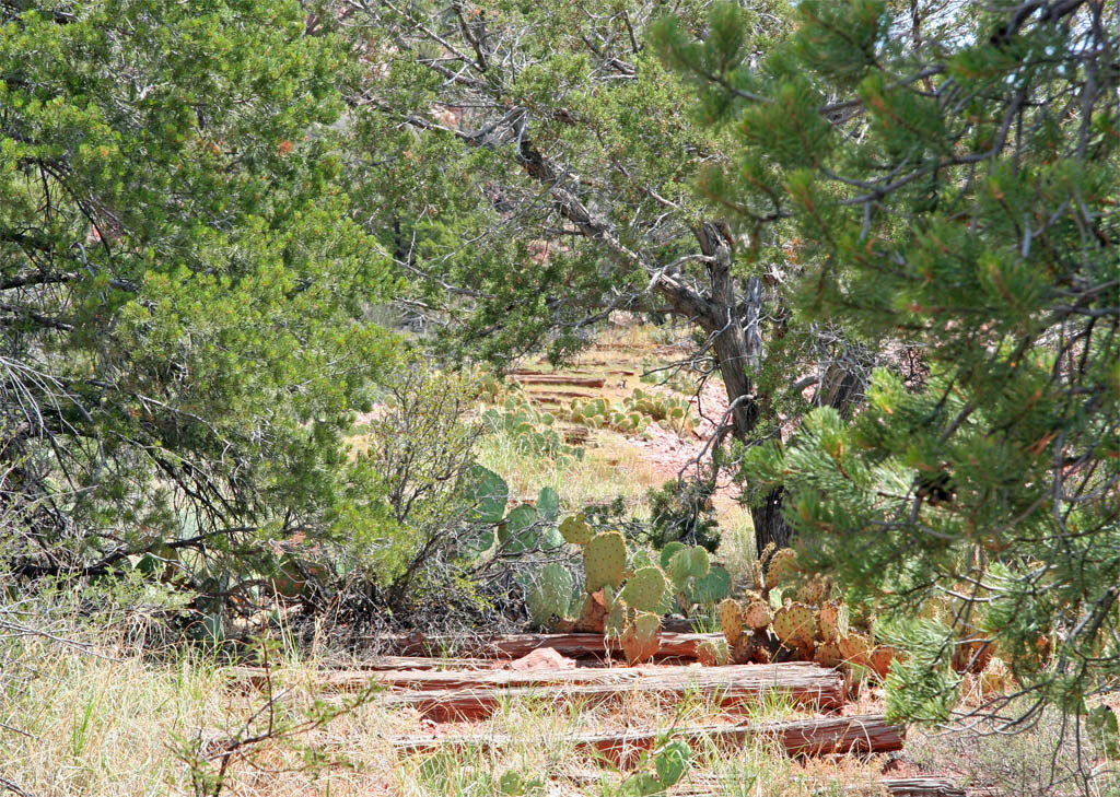
Coming out of the cut we get this very small view of the grade ahead. I
like this shot for some odd reason.
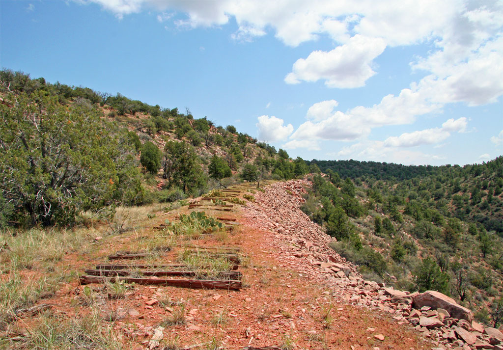
The grade opens up a bit as we continue our climb up to the summit. That
is all until the next installment where we top out at the summit and then
continue downgrade to Rock Butte.
Page 7